Rureifel: Bördeschleife
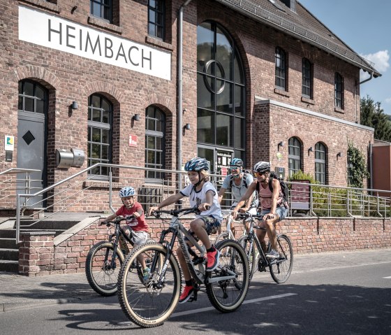
Heimbach
The starting point is the national park town of Heimbach in the Rureifel and the smallest town in NRW. The International Art Academy at Hengebach Castle attracts thousands of visitors every year who come to see the grounds or take part in a workshop. In addition to a tour of the castle, we recommend a visit to the National Park Gate, where you can learn interesting facts about the transformation of the Eifel National Park into the primeval forest of tomorrow. It is also worth making a detour to the Schwammenauel landing stage on Lake Rursee, where the Rursee boat trip invites you to take a trip across the lake district.
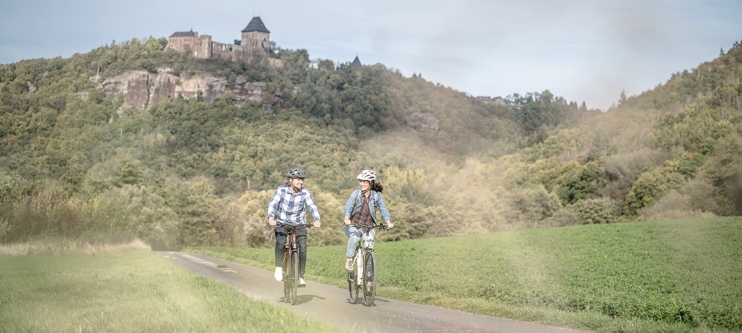
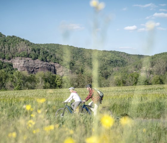
The trip through the Rur valley with its mighty red sandstone cliffs and the small town of Nideggen with its imposing hilltop castle are impressive. The palace of the castle is one of the largest hall buildings in the Rhineland. Here, too, the National Park Gate invites you to visit its interesting exhibition.
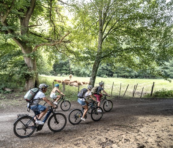
The Bördeland landscape, where the last ice age left behind fertile soils, is characteristic of the rest of the cycle tour. Small villages, numerous manor houses and moated castles dominate the landscape today. An exceptionally high biodiversity with numerous endangered animal and plant species can be found here.
Route description
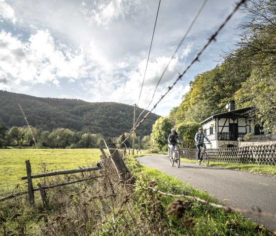
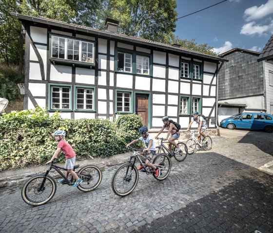
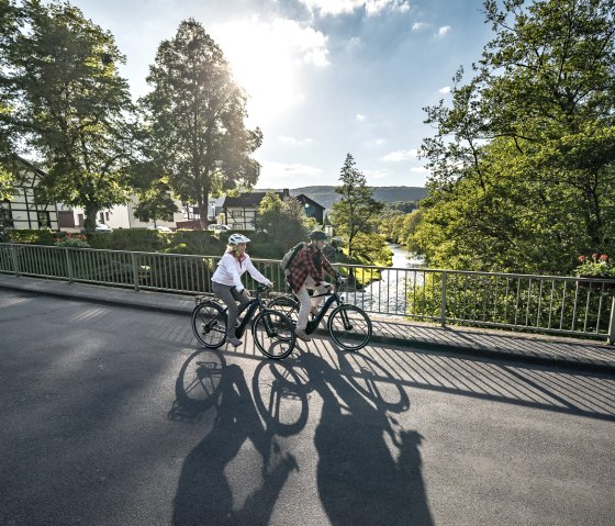
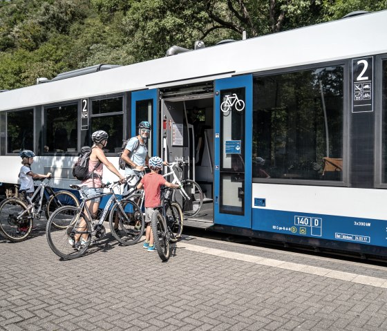
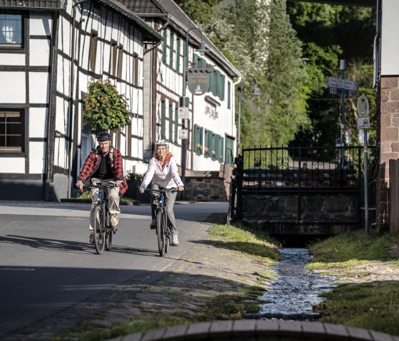
Start in Heimbach at the Rur bridge "Über Rur" (junction 71). From here, take Hengebachstraße for a short distance downhill to the traffic circle (Heimbach railroad station). Then take the 3rd exit and continue uphill for a short distance (Hasenfelder Straße). At the first junction, we turn right towards the outdoor pool and once we have left this and the sports facilities behind us, we reach the Rur. We continue to follow the signs for the Rur-Ufer-Radweg through the Rur valley. Shortly after Heimbach, the path runs parallel to the L 249 to Hausen. Between Hausen and Blens, we cycle on a farm track before cycling parallel to the L 249 again for a while after passing through Blens. Shortly before Abenden, we turn left off the country road and cycle into and through the small half-timbered village.At the Berrefeldweg junction, we leave the Rur-Ufer cycle path and stay on Palander Straße, turning left at the end onto Im Hag, which takes us out of the village onto the cycle path that runs parallel to the L 249. The path now leads steadily uphill until we reach Nideggen. Here it is worth making a detour to the historic town center and up to the castle.
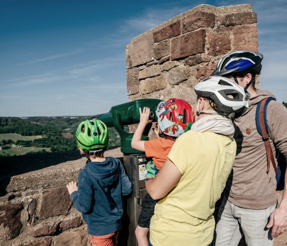
Our cycle tour continues towards Berg, so at the junction of the L 249 and the L 11, we turn right and cycle along the cycle path that runs parallel to the L 11. After around 1,400 m, we leave the cycle path for a short stretch and turn right onto an (un)paved path that takes us to the "Klemensstock". Here we enjoy a fantastic panoramic view and, weather permitting, we can see the Siebengebirge and far into the Börde landscape. A picnic area near a small chapel invites us to linger. We then follow the cycle route signs towards Nideggen/Kreuzau. At the entrance to Berg (junction 74), we cycle straight ahead over the L 11 and along the Tontenbach and past junction 75 down to the village of Thuir, which we cross. We then follow the Muldenau stream into Muldenau and follow the cycle path to the "Antoniushäuschen" chapel (junction 79), where we turn right onto the valley route towards Wollersheim. We follow the valley route through Wollersheim and continue towards Vlatten, where we leave the valley route again. Passing St. Michael's Chapel, we cycle steadily uphill to the end of the village and continue parallel to the main road to Hergarten, on the edge of the Eifel National Park.
We cycle through the village until the school road branches off the main road. We follow Schulstraße and keep right at the end, where we take the forest path out of the village. After Hergarten, we have reached the highest point of our cycle tour, then it's "just loofe losse" to the finish and starting point of the cycle tour in Heimbach.
