IMG_6735, © Rureifel-Tourismus e.V., Dennis Winands
  • Distance: 4.1 km
  • Duration: 1:15 h
  • Difficulty: easy

Archäologischer Wanderweg Hürtgenwald 1944-45 [94]

Vossenack

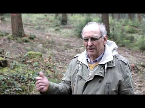
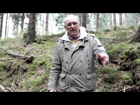
This trail takes you to US positions from the time of the fighting in the Hürtgenwald in 1944-45, which have been investigated and mapped by the LVR Office for the Preservation of Monuments. You start your journey through time at the country estate hotel "Zum alten Forsthaus" and follow the marker 94 from here.

mehr lesen

Marking of the tour:

  • Rureifel-Way-94
pdf: Map section of the Archaeological Trail [94]pdf: Hürtgenwald archaeological trail 1944-45gpx: Hürtgenwald archaeological trail 1944-45

Share content:

Along the route

Bitte akzeptieren Sie den Einsatz aller Cookies, um den Inhalt dieser Seite sehen zu können.

Alle Cookies Freigeben

Bitte akzeptieren Sie den Einsatz aller Cookies, um den Inhalt dieser Seite sehen zu können.

Alle Cookies Freigeben

Bitte akzeptieren Sie den Einsatz aller Cookies, um den Inhalt dieser Seite sehen zu können.

Alle Cookies Freigeben

Bitte akzeptieren Sie den Einsatz aller Cookies, um den Inhalt dieser Seite sehen zu können.

Alle Cookies Freigeben

Bitte akzeptieren Sie den Einsatz aller Cookies, um den Inhalt dieser Seite sehen zu können.

Alle Cookies Freigeben

More information about this route

Distance: 4.1 km

Duration: 1:15 h

Difficulty: easy

Ascent: 104 m

Descent: 104 m

Map material

  • Hiking map no. 2 | Rureifel of the Eifelverein

These are available from our local tourist information offices.

Accessibility by public transport

  • Accessible by bus line 286: Bus stop Abzw. Vossenack

You can find the timetable for bus route 286 here.

Rureifel-Tourismus e.V.

An der Laag 4
52396 Heimbach
Phone: 0049 2446 805790

write e-mail

Plan your journey

per Google Maps