Rureifel: Zu den Naturschätzen von Nideggen und Heimbach
Nidegge-Abenden
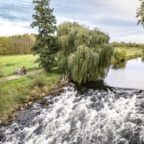
Embark on a journey of discovery to the natural treasures and gems of the Eifel. These may not be as well known as the "hot spots", but they are just as worth seeing and experiencing. This tour takes us to two natural treasures in the Rureifel: the Badewald forest between the Nideggen districts of Abenden and Berg and the Meuchelberg hill in Heimbach.
The hiking route through the Badewald forest is also a journey through time, as interesting geological and archaeological traces can be found here. The landscape is typical of the Rur-Eifel: forest grass paths lined with pine trees, pastures and orchards, garnished with beautiful views of the Rur valley. But legends and tales are also at home here. Let yourself be enchanted!
Contrary to its almost off-putting name, the Meuchelberg in Heimbach is an inviting spot. The Rur, which has dug deep around the so-called "Umlaufberg", makes it look almost like an island. If you walk carefully through the landscape, you will discover rare animal species such as the wall lizard and the steppe grasshopper.
Route description
From the stopping point, we cross the Rur on the Martinus bridge, continue straight ahead on Mühlbachstraße and follow the small Mühlbach stream in an easterly direction. Shortly before we arrive below the high valley bridge of the L 249, we turn left and climb the steep steps. Hiking sign 67 of the Hundsleyrunde is visible; it will accompany us all the way back to Abenden. After a short section of tarmac path, the natural experience of the Badewald forest begins with the ascending forest grass path opposite. The pines planted on the sandstone soil thin out with age, allowing young deciduous trees to grow in from below. The trail leads us through the charming alternation of mixed and coniferous forest into the valley and, after a bend, back to Abenden.
We pass the stop of the Rur Valley Railway, turn left behind the tracks onto the hawthorn path and follow the hiking sign for the red sandstone route. For the next 700 m or so, we follow the course of the Rurtalbahn and turn right into the forest at the first junction just before the railroad bridge. We follow the path uphill and always keep to the red sandstone route sign, which takes us further downhill and over a few steps directly to the Rur. The picnic area on the banks of the Rur is a good place to take a break. The path then leads us along the edge of the forest to the outskirts of Blens. At the end of the path, we first turn right at the cemetery and then immediately left again. We are still on the red sandstone route and follow this hiking sign until hiking sign 68 appears for the first time at the end of a downhill path. Here we leave the red sandstone route, turn right onto the path uphill and follow the Eifelverein's hiking sign 68, which leads us downhill again. We leave the campsite on the left, turn right after the barrier and follow the course of the Rur towards Heimbach, the smallest town in NRW. At the entrance to the town, we pass the sports field, the tennis courts and the outdoor swimming pool and cross Hasenfelder Straße at the end of the path, plunging back into the shade of the forest. Hiking trail 29 of the Eifelverein Heimbach takes us to the Meuchelberg, for which we have to climb around 180 meters in altitude, in some places with short steep passages. We are rewarded with a charming low mountain range landscape and its fauna and flora, as well as beautiful views in spring and fall, when the leaf-free trees open up the view, e.g. of the Jugendstil power station and Hengebach Castle.


