indeland: Nordschleife
Jülich
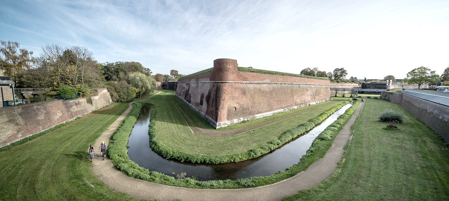
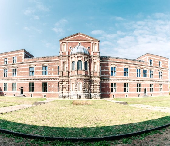
After 400 years, Duke Wilhelm should still feel at home in his residential town of Jülich. Among other things, the construction of the citadel with the residential palace, which is still preserved today, and the layout of the inner-city buildings can be traced back to him. The French and Prussians also left their architectural mark, but the layout of the town center has remained unchanged to this day and represents an ideal Renaissance town layout from the 16th century. Today, Jülich has made a name for itself as a research city far beyond its borders and the research center is one of the leading facilities in Germany. In its institutes and competence centers, scientists investigate complex topics such as fuel cell development and biotechnology, structural change, quantum technology and, most recently, Covid-19 research.
A remarkable testimony to Jewish life in the district of Düren can be seen in Titz-Rödinigen. The synagogue, built in 1841, together with the home of the Jewish Ullmann family, is the only building ensemble of its kind in the western Rhineland that has been largely preserved in its original state. Today it houses the LVR Landsynagoge Rödingen cultural center.
Directions
From Jülich train station, head north towards the center. At the T-junction, we turn right towards Stetternich / junction (KNP) 95. From KNP 95, we follow the signs towards Elsdorf. Shortly before Sophienhöhe, we meet the Wasserburgen route. We follow this in the direction of Elsdorf. We circle the Sophienhöhe, a recultivated spoil tip from the Hambach open-cast mine, and turn north on the Wasserburgen route at the junction to Titz-Rödingen. We continue along the Wasserburgen route to Kalrath. There we leave the Wasserburg route and cycle straight on into Lommertzheimstraße in the direction of Erkelenz / Titz until we reach KNP 6 in Titz. From here, we follow the cycle route signs to KNP 5 in Gevelsdorf. At KNP 5, we follow the signs towards Linnich / KNP 4 to Kofferen. In Kofferen, we follow the signs to Linnich / Gevenich. After Gevenich, at the Kiffelberg crescent, we continue in a southerly direction and follow the signs to Jülich / Tetz station. In Tetz, we turn right towards Linnich / KNP 19. At KNP 19, we join the RurUfer cycle path and follow it towards Jülich. In Jülich, we leave the RurUfer cycle path at the Am Wehr / Im Rurwinkel junction and follow the signs to our starting point in the direction of the railroad station.
