indeland: Durch den Meroder Wald zur Laufenburg
Langerwehe
There are several cultural highlights on this discovery-packed circular hike. These can already be found in Langerwehe, the start and finish of our tour.
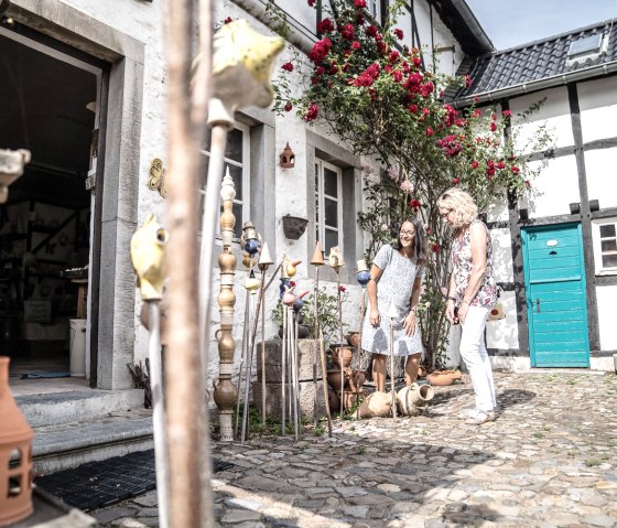
The pottery trade has a long tradition here and was an important economic factor for many centuries. This is evidenced not only by the pottery museum, but also by the still active craft businesses and some of the ceramics in the townscape, such as the clay pots on the traffic circle and the pottery fountain.
At the Langerwehe Pottery Museum, you can look over the potter's shoulder in the museum's own workshop and put your skills to the test on a pottery course. Exhibits, models, installations and films bring the working world of potters to life in the museum's exhibition.
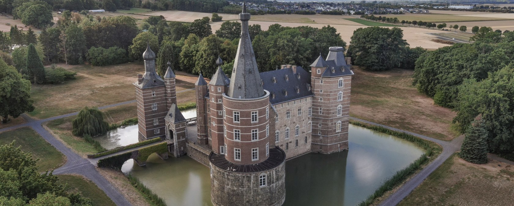
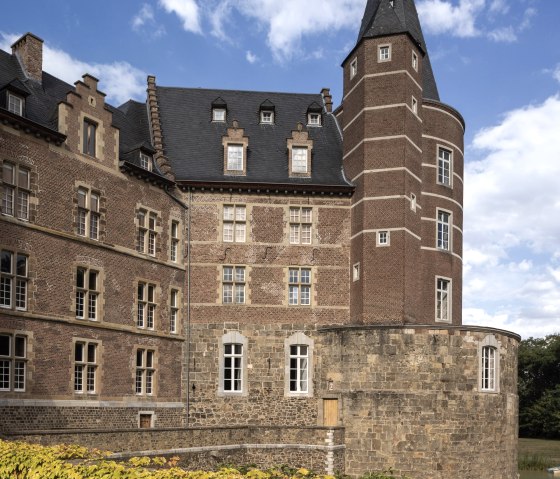
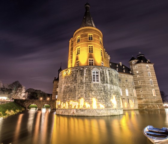
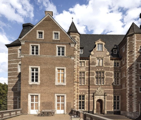
Merode Castle was severely damaged by a devastating fire in June 2000. The damage amounted to several million euros. Since then, the Princes of Merode have been working continuously on the reconstruction, which will continue for many years to come. Now that the outer walls and roof have been repaired, the renovation of the castle's interior can continue.
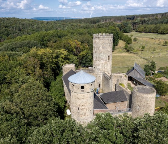
Laufenburg Castle, a hilltop castle with an adjoining restaurant, is located in the middle of the Merode Castle forest.
Route description
The start and finish is the train station in Langerwehe. The InfoCenter there provides information about the indeland and the region.
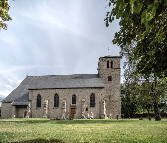
From the station, we walk a short distance east along Bahnhofstraße in the direction of "kleiner Indemann" and then turn right onto "Auf dem Hiebchen". At the fork in the road, we keep left and follow the "Rymelsberg" road uphill. A detour to the "Alte Kirche auf dem Rymelsberg" is recommended here. In front of the sports grounds, we come across the Eifelverein marker 31. We follow this and turn left onto a path, which we follow to Hinkenweg and then to Schönthaler Straße (L 12). We cross the road, turn left and follow the Eifelverein's hiking trail 31 to house number 49. Here we turn right into the courtyard entrance; at the end of this, a path takes us uphill over a few steps. We cross the meadow, keep slightly to the left towards the post with the Eifelverein sign and then follow the path further uphill. At the end of the path, turn left onto hiking trail 31 and then right at the next junction (sign for Laufenburg). At the next crossroads (Oligsdriesch), we leave hiking trail 31 and turn left onto hiking trail 21 and follow the tarred path downhill. At the pond, we turn right, pass a small spot with an insect hotel and follow hiking sign 21 uphill again. At the next junction, we leave hiking trail 21 and turn right. At the next opportunity, we keep left and follow the path along the edge of the forest. At the end, we have a wonderful view of the Börde.
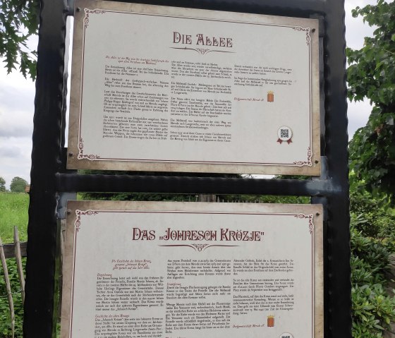
At the viewpoint, turn right and follow the path straight ahead into the forest. At the sign for dog owners, we turn left and follow the path straight on past the next crossroads. Here we rejoin hiking trail 21 and follow it downhill towards the village of Merode. We keep left at the white signpost and follow the path and trail no. 21 further downhill. At the "Johnesche Krötzje", two benches invite you to take a break. Here we leave the 21, turn right onto Schlossstraße and walk straight ahead along the Merode castle park. The view of the castle, which is open to the public during events such as the Christmas market, is obscured by the trees and hedges. However, we can take a short detour via Kreuzherrenstraße and see the castle and the castle park from the entrance gate.
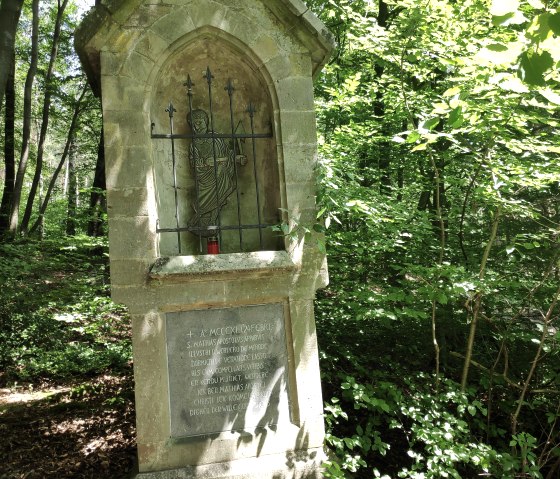
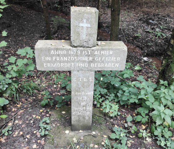
On our way through the forest, we repeatedly pass information boards on flora and fauna. We continue straight ahead on the well-maintained path for a few kilometers. We also keep straight on at the rest bench donated by indeland GmbH. Shortly before we have to turn right at the T-junction, we pass a secluded spot with benches and a wayside cross on the right, which commemorates the founding of Schwarzenbroich Monastery by Count Werner von Merode, of which only a few remains remain. At the end of the path (T-junction), turn right and walk straight ahead for a short distance. On the way, we meet the Eifelverein's hiking trail 71, which we take to the left and turn left again at the end of the trail. At the Franzosenkreuz we continue to follow the marker 71 and walk straight ahead on a wide path towards Laufenburg. At the barrier, we follow the signs to Laufenburg Castle uphill to the right until we reach Laufenburg Castle.
We descend along the path between the castle and the beer garden. At the end of the path, we reach a wide path via a few steps and meet hiking trail 31 again here, which we follow downhill. At the next junction, we keep left again. At the bottom, we leave hiking trail 31 and follow hiking trail 21 for a short stretch, i.e. we turn right and follow the path uphill in its left-hand bend. At the barrier, we leave the wide path and hiking trail 21 and follow the path and the markings of the Wald-Wasser-Wildnis-Weg downhill to the left. At the bus stop, we cross Schönthaler Straße (L 21) to the other side of the road and walk downhill along the road towards Langerwehe. When we see the first house on the right-hand side of the road, we turn left onto a path, cross the stream over a small bridge and then keep left. At the end of the short meadow path, we turn right at a shed and follow the well-maintained path uphill to the Langerwehe sports grounds. Here we turn right onto the tarmac road, which takes us past the sports grounds on familiar paths back to our starting point at Langerwehe station.
