Düren: Stadt-Land-Fluss
Düren
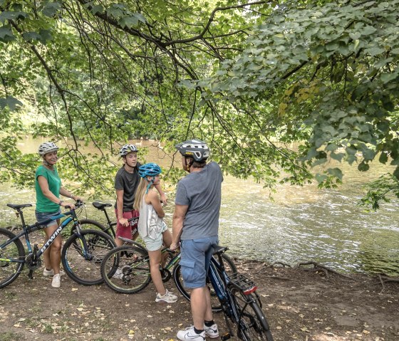
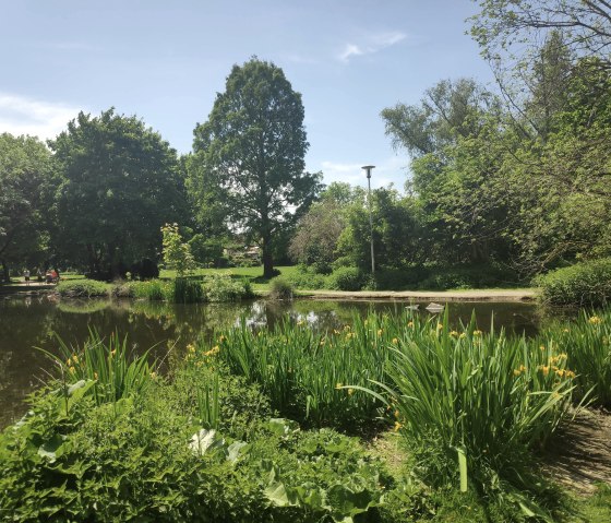
In keeping with the name of the tour, we get to know all facets of the city on our cycle route through Düren. The stronghold of the paper industry was not built on the water by chance, as it needs the precious water for this still successfully producing branch of industry. Not only does the Rur flow through the city, but the mill ponds also characterize its appearance. The accompanying floodplain landscape and parks provide a green touch to the otherwise urban character. The circular route close to the city has the advantage that it also includes numerous places to stop for refreshments, making the fairly gentle route a real pleasure tour. There are also plenty of sunny or shady spots for a picnic, depending on the time of year.
Route description
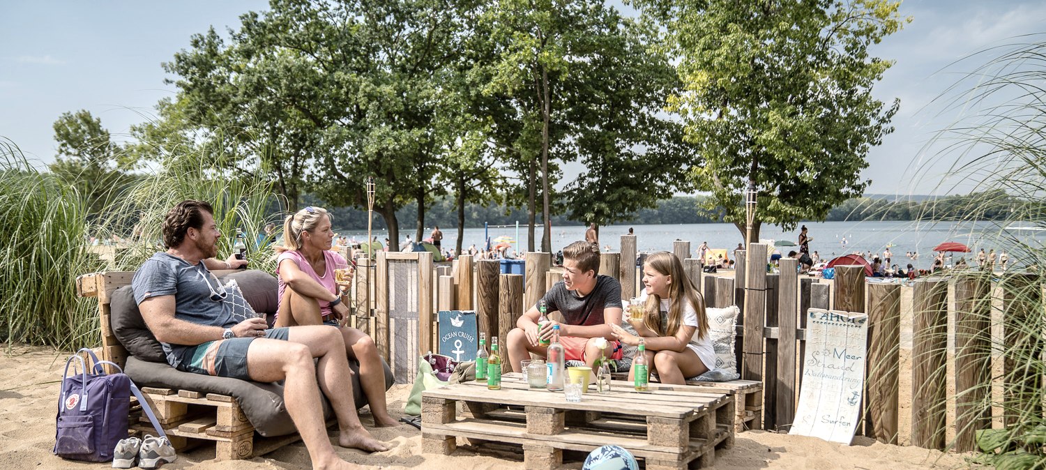
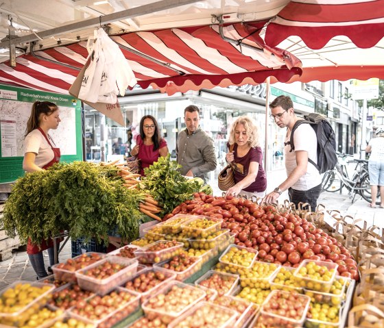
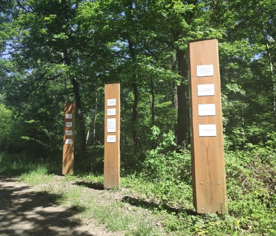
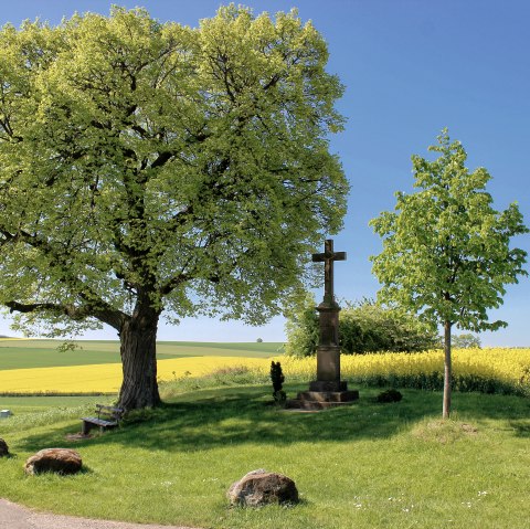
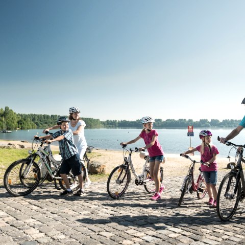
We start at Düren railroad station and head north along Josef-Schregel-Straße, Alte Jülicher Straße and Veldener Straße. Behind the Boss furniture store, we cross Veldener Straße at a crossing aid and follow the signs to Dürener Badesee. Once there, we turn left onto an agricultural path and cycle around the lake until we reach Derichsweiler. Where we leave the lake circuit, we have to be careful. First the path splits and we keep left, cycle down over the wooden bridge and shortly afterwards the path climbs up to the B 264. We recommend dismounting here if necessary and pushing the bike up the few meters. We then cross the main road and cycle into Derichsweiler. We follow Dampfmühlenstraße and then turn onto Derichsweilerstraße (towards the cemetery). On this road we reach the district of Gürzenich. At the end of the path, we turn left and follow the Gürzenich stream for a short stretch. At the Sparkasse bank opposite, we cross the stream and the road and continue straight ahead into Ratsstraße. After just under 300 m, we turn left into Am Wingert and after a further 600 m turn right into Laverweg. Follow this until the end of the road in the Rölsdorf district. At the T-junction, we turn left, cross Monschauer Straße after a few meters and cycle parallel to Birgeler Bach along the street In der Mühlenau. We cross the B 399 and cycle straight ahead for a short distance on the footpath/cycle path against the one-way street (cycling permitted!). Before the school center, we turn right onto Cornetzhof. At the end of this road, turn right and then immediately left again. We cycle along the footpath/cycle path until we reach the path that runs directly alongside the Rur. We turn right here and cycle upstream to the next bridge over the Rur. We cross the bridge and then immediately turn right onto the RurUfer cycle path in the direction of Kreuzau/Lendersdorf. At the Schwanenbrücke bridge, we leave the Rur-Ufer-Radweg, turn left and follow the signs for the Wasserburgen-Route towards Burgau Castle. Cycle around Burgau Castle on the outer path, past the animal shelter, across the parking lot, cross the L 327 and continue straight ahead on the Wasserburge route. At the Mother of God wayside shrine, we turn left, pass a barrier at the edge of the forest and after about 500 m turn left onto the Stockheim historical hiking trail. At the bus stop, we cross the L 327 again and continue in a northerly direction towards Düren. At the end of the path, we turn left onto the somewhat bumpy Panzerstraße. At the next opportunity, we turn left (sign for nature reserve) and keep right behind the barrier. The path leads into a somewhat steep hollow path; it may be advisable to dismount and push the bike for a short distance. At the bottom, turn right onto a wide path through the Burgau forest and continue into Düren. Turn left at Dechant-Bohnekamp-Straße and right at the traffic lights. We leave the traffic circle at Europaplatz at the 2nd exit (Nippestraße) and turn right directly behind the Arena Kreis Düren. We first ride along the Mühlenteich and over a bridge to the left into the Holzbendenpark, which we cross along the outer edge to its end. At the end of the park, we cycle straight ahead on the footpath/cycle path until we reach the B 264 / Stürtzstraße. Keep right here and turn left at the next set of traffic lights into Oberstraße. This takes us into the city center of Düren, past the Annakirche church and directly onto the market square. We cross this diagonally (please dismount on market days) and cycle along Zehnthofstraße and past the StadtCenter towards Langemarckpark. Before the park, the road bends to the right and at the end of the road we turn left. We continue along Josef-Schregel-Straße for a short distance until we reach the starting point of our cycle tour at Düren station.
