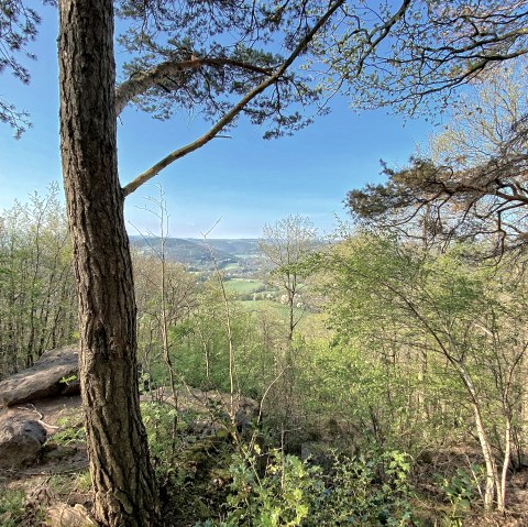
Beaver tracks
  • Distance: 16.4 km
  • Duration: 4:20 h
  • Difficulty: medium

Biberweg [05]

Hürtgen

The hike starts at the "Brandenburger Tor" parking lot in Hürtgenwald. Follow the Eifelverein's trail marker 05 along the Hürtgenbach towards the southern tip of the Wehebach dam. However, turn off here at Gressenicher Weg and continue in the direction of "Rote Wehe". Follow the course of the stream to the junction with "Alte Zweifaller Straße" and turn left into the forest in the direction of the "Weiße Wehe" stream to get back to the starting point.

mehr lesen gpx: Biberweg [05]

Share content:

Along the route

Bitte akzeptieren Sie den Einsatz aller Cookies, um den Inhalt dieser Seite sehen zu können.

Alle Cookies Freigeben

More information about this route

Distance: 16.4 km

Duration: 4:20 h

Difficulty: medium

Ascent: 378 m

Descent: 378 m

Card material

We recommend:

  • Hiking map no. 2 | Rureifel of the Eifelverein

These are available from our local tourist information offices.

Rureifel Tourismus e.V.

An der Laag 4
52396 Heimbach
Phone: 0049 2446 805790

write e-mail

Plan your journey

per Google Maps